top of page
Website Background.png

A Better Look Aerial

Our Services

Whether we're locating lost pets, providing property mapping, assessing storm damage or managing wildlife, we’re dedicated to solving the problems that matter to YOU! Don't see the service you're interested in listed below? Let's chat. We're always open to expanding our list of drone services to better serve our neighbors.

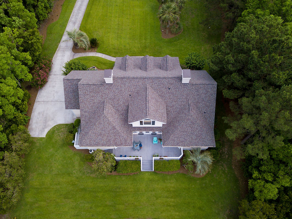
Take a peek at our growing list of Drone Services

Property Mapping.png

Property Mapping

We use drone photogrammetry, along with accurate GPS data, to create layered maps for property owners to get a better look at their investment.

Construction Site Workers

Construction Site Mapping

Unlock the full potential of your construction projects with our expert drone mapping services. 

Thermal Imaging.png

Thermal Inspections & Analysis

Utilizing advanced thermal imaging technology, we can deliver clear and concise evaluations to help you maintain the integrity of your assets. 

Aerial View House

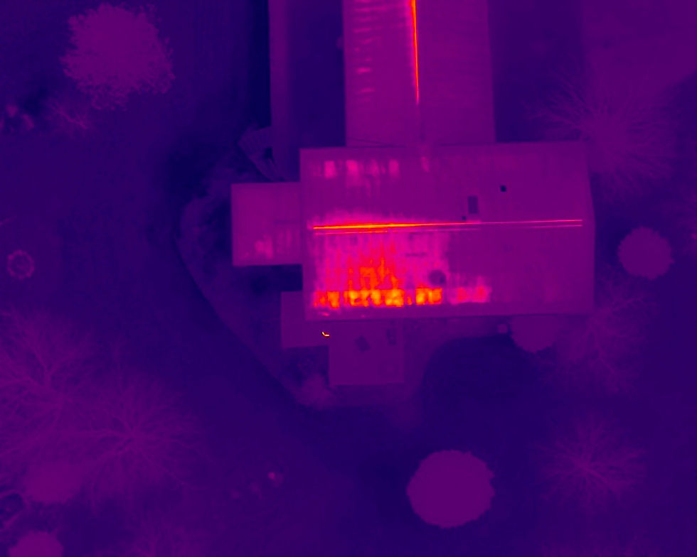
Insurance Inspections

More info coming soon!

Read More
Image by Clay Banks

Storm Damage Inspections

More info coming soon!

Read More
986b3dbd-9e04-4a63-b16c-5776607d3fac.jpg

Deer Recovery

When you're ready to take your hunt to new heights, give us a call!

Image by Abigail Baines

Lost Pet or Livestock Search

More info coming soon!

Read More
Image by Grant Sams

Wildlife Herd Analysis

More info coming soon!

Read More
Image by Dave Hoefler

Crop Analysis

More info coming soon!

Read More

Let's chat about what services best fit your needs!

Preferred Contact Method
I want to learn more about:
bottom of page